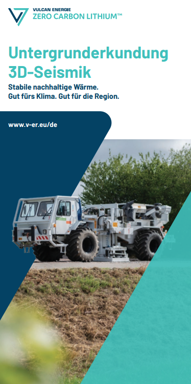
Important geological measurements Seismic Analysis Anterior Palatinate.
3D seismic In the Anterior Palatinate
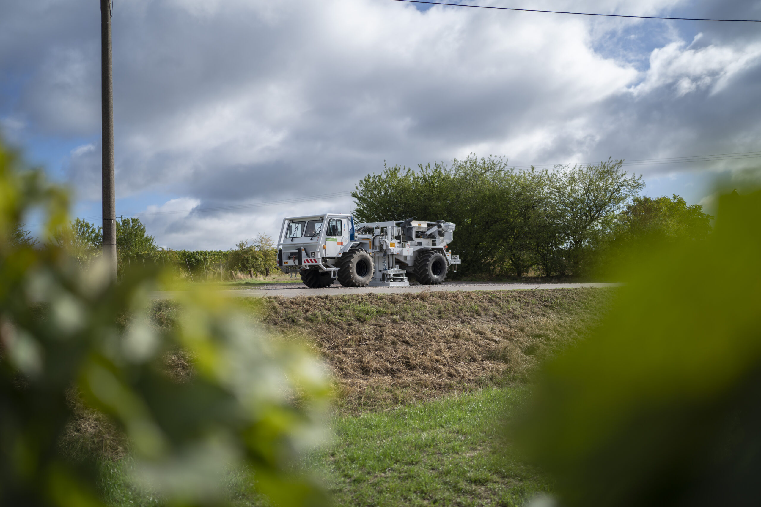
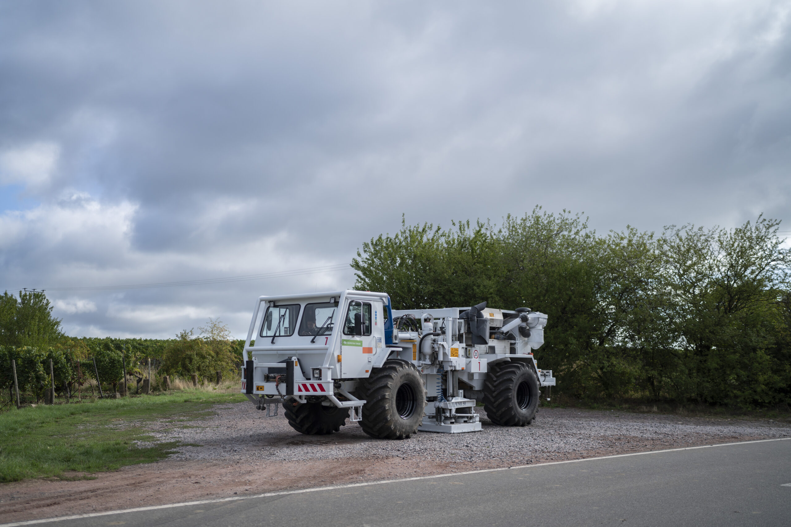
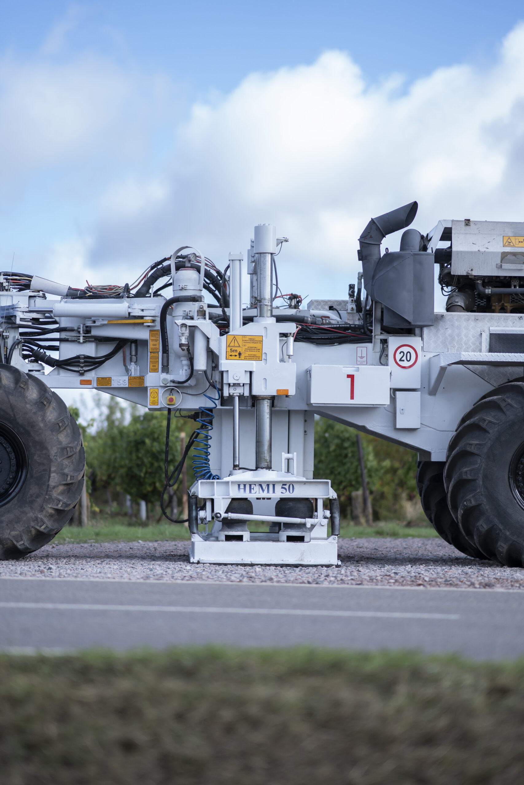
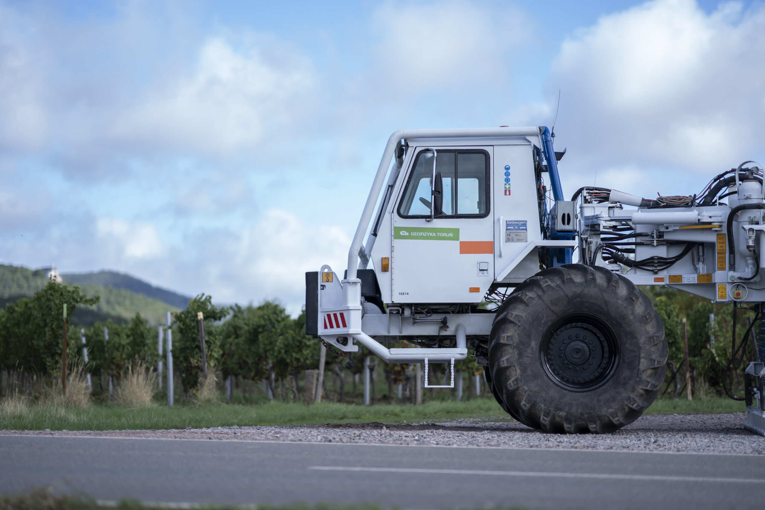
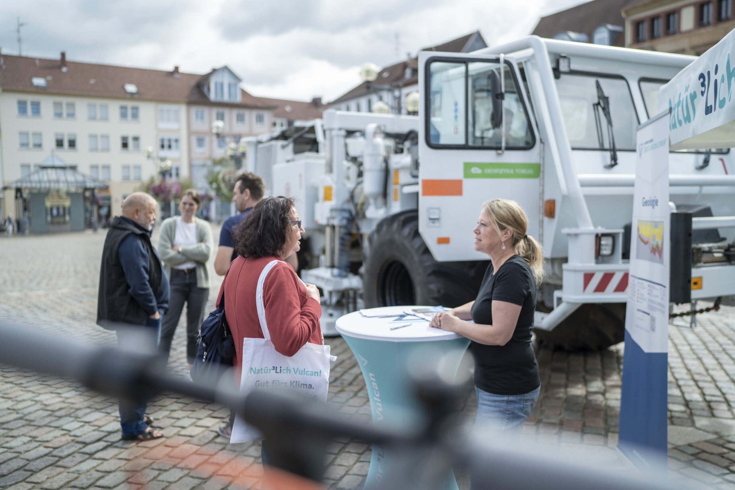
A seismic survey is also planned in the Anterior Palatinate region in order to have a good data basis for our project. We measure the underground to obtain an accurate picture of the geological conditions on site. To do this, we lay out geophones that precisely register the sound waves generated for measurement. The measuring vehicles drive along the specified and approved roads and paths, while the controlled measurements are taken approximately every 50 metres. By the way: A single measurement process takes one to two minutes in total, the measurement itself only about 40 seconds.
These measurements are used for quality assurance. Sometimes the recorded data gives geologists a very precise picture (similar to an ultrasound measurement) of where the largest reservoirs for deep thermal water are located and how they can be reached most safely. The measurement area stretches from Bad Dürkheim via Frankenthal to Ludwigshafen.

3D seismic What is a 3D seismic and how does it work?
A 3D seismic involves the geophysical exploration of the subsurface, with vibro-trucks travelling over roads and paths in the exploration area. Meanwhile, they use a lowerable vibration plate to generate seismic waves that are injected into the ground. These waves are then refracted by different layers of rock underground, reflected and recorded by the geophones. The measuring network, made up of measuring and vibration points, determines the distribution of the points and is then adapted to the infrastructural conditions on site. In addition to the existing road network, this also includes pipeline networks, specifications relevant to nature conservation law, potential old explosive ordnance, the location of sensitive buildings, etc. On the basis of the data obtained using this method, the geological structures in the subsurface can be determined using further complex analyses and modelling.
3D seismic Why do you need a3D seismic?
A 3D seismic enables a more precise and comprehensive recording of the geological structures and layering in the subsurface. By using this method, we can locate hot water reservoirs. Only on the basis of this complex data is it possible to determine optimal locations for the sustainable and safe extraction of heat and lithium from thermal water.
In short, information about the structure and composition of the earth’s interior is essential for the successful realisation of our geothermal project.
By the way: Seismology is the technique in which seismic waves are used to obtain information about the subsurface, while seismicity describes the observable earthquake activity in a region.
3D seismic Why are measurements also taken in urban areas?
Even in places where Vulcan is obviously not going to build a power station or drilling site, we still have to lay out geophones and take measurements. This is the only way to achieve a comprehensive picture of the underground. After all, all geophones pick up sound waves.
Flyer Information for you.